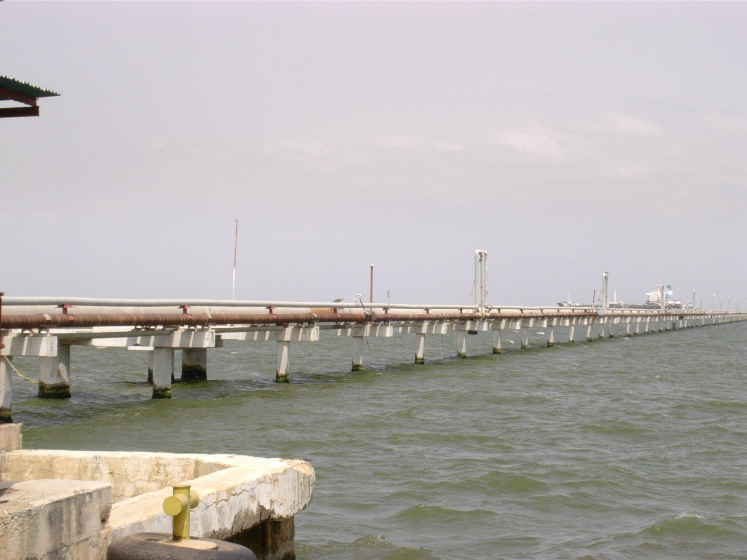
Topographic control with DGPS of the sublacustrine laying of the 26 "gas line between Bajo Grande and Ulé

Client
Location
Costa Oriental del Lago de Maracaibo. Venezuela
Date
30/01/2016
Technical Sheet
Description
El proyecto se basó en el levantamiento de mediciones GPS de la línea base para realizar el control Topográfico del hincado de 36 pilotes.
Survey of the final position of the piles (As Built), by classical method of topography. The information acquired in the field was processed, generating the respective plans and report.