Geohazards Survey, Mejillones
Description
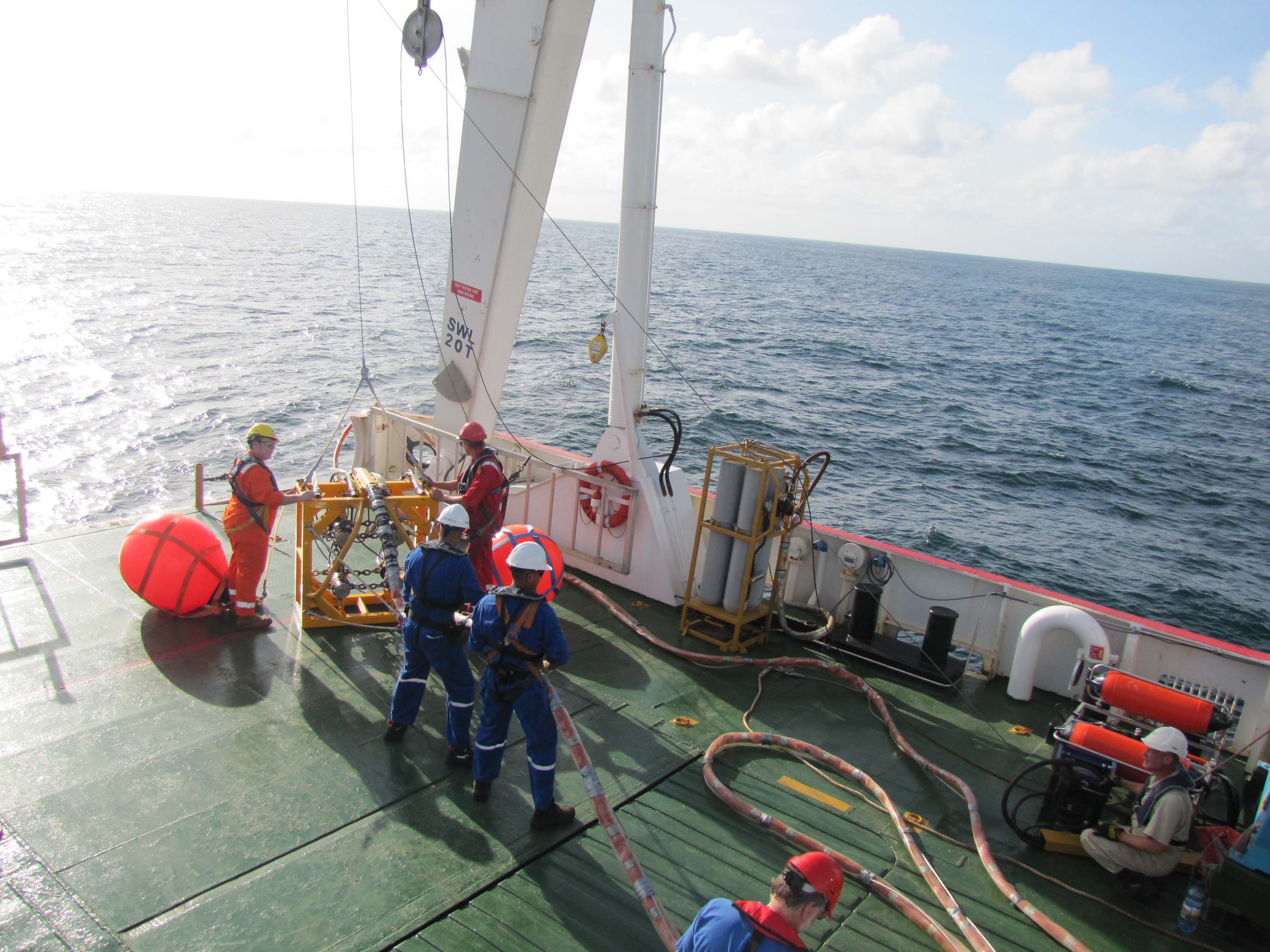
The Mejillones block is part of the Proyecto Mariscal Sucre offshore gas project area. In this area, Incostas performed a High Resolution Analog and Digital Geophysical Survey, using the MV Poseidon offshore research vessel, to detect and assess hazards in the sea bottom for exploration and production well boring as well as pipeline deployment. Recorded seismic sections were compared with available geotechnical information to achieve a detailed soil characterization.
In addition, Acquired data interpretation allowed identification of features that might represent a hazard for drilling and for facilities deployment, such as faults and shallow gas pockets. A sunken vessel, presumably an oil tanker, was also detected. The detected hazards did not affect the planned drilling sites, but did modify the pipeline routes. The Side Scan Sonar Mosaic image below shows the huge number of pockmarks present on the sea bottom.
The products obtained were: mapas batimétricos multihaz, Side Scan Sonar Mosaics, Interpreted Seismic SectionsIn addition to, Time and Depth Structural Maps, mapas isópacos y Amplitude Maps.
